Not a planning and development certificate. Open Queensland Government layers, explained. Details
Loading the lot…
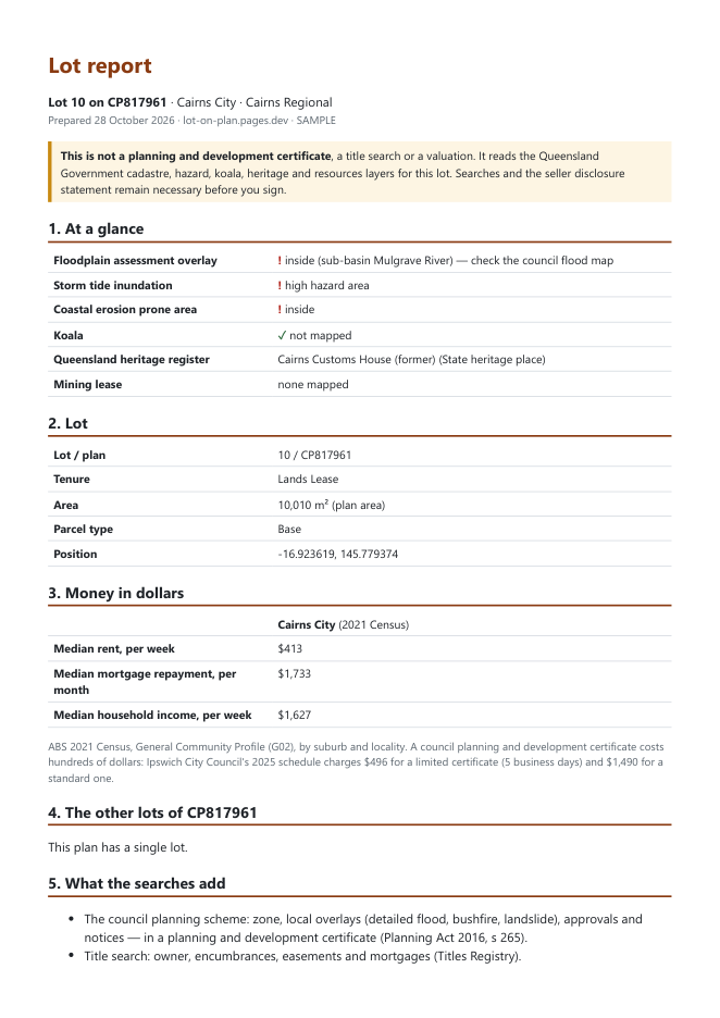
Lot report, PDF, AU$19. Floodplain overlay, storm tide and erosion prone area, koala habitat, heritage register, mining leases, tenure and area, the median rent and mortgage of the locality, and the other lots of the same plan.
Cadastre, coastal hazard, koala, heritage and mining layers: © State of Queensland, CC BY 4.0. Floodplain assessment overlay: Queensland Reconstruction Authority. Rent and mortgage: ABS 2021 Census. Read on 28 Oct 2026. Check the council planning scheme and searches before you sign.